
01
Planned with production
Flight windows, access and shot priorities are coordinated with the run of show instead of added as an afterthought.

The service
New York events are built into the city around them. Aerial coverage should reveal the venue, audience, skyline and production footprint while respecting a dense operating environment and the decisions already being made by the producer, venue and ground team.
Discuss your project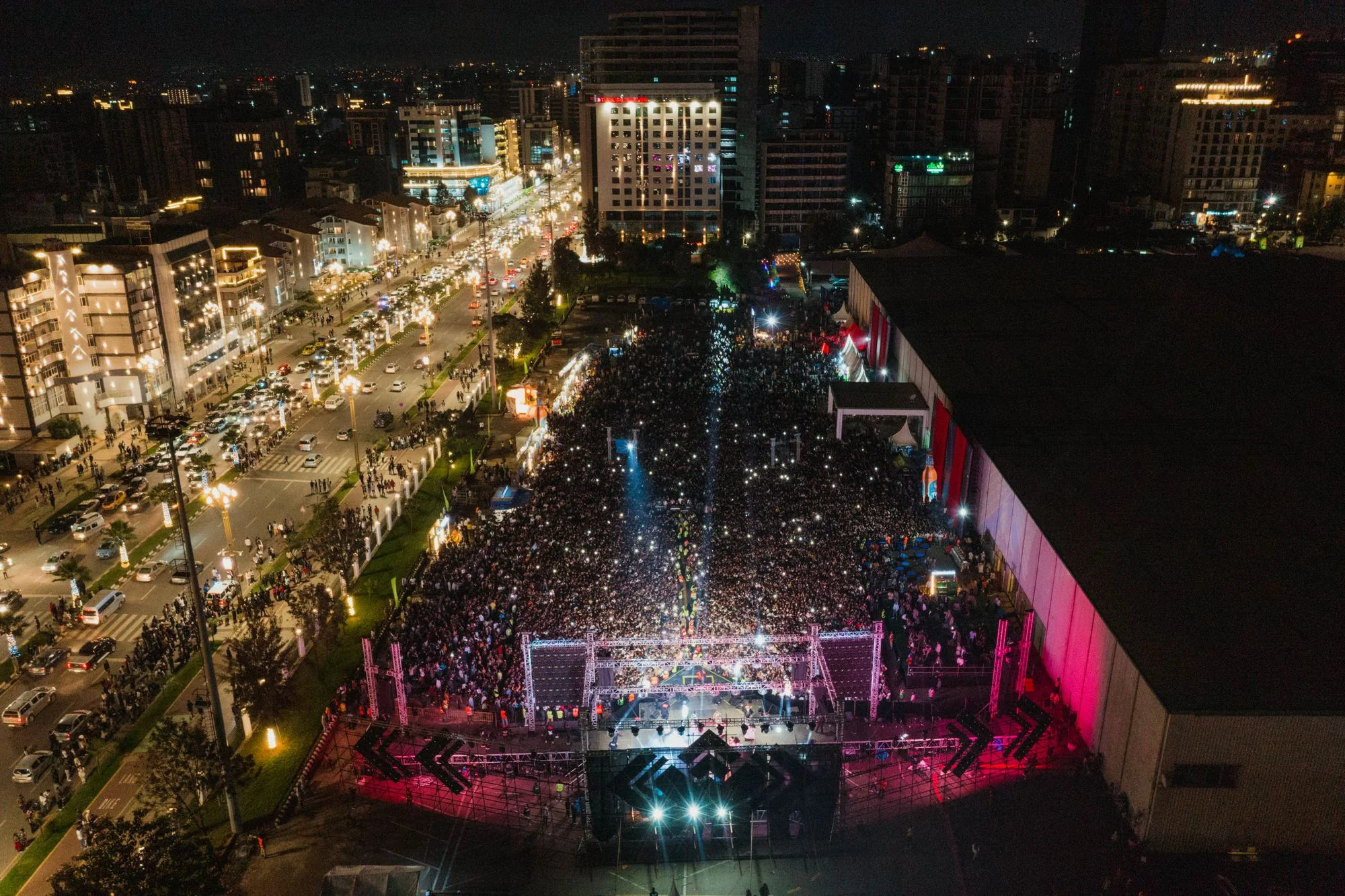
Specialist services
Each service has its own planning questions, deliverables, and quote path. The overview remains available when your assignment crosses more than one category.
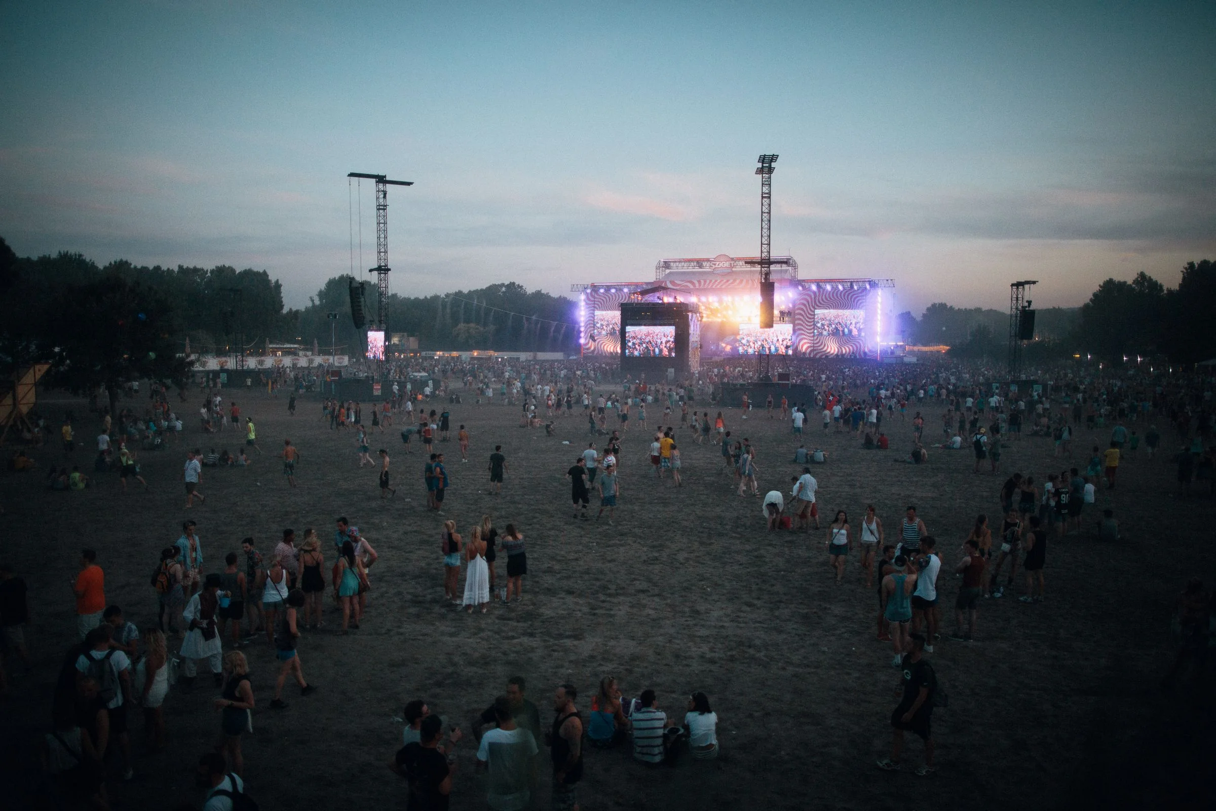
Aerial establishing shots, venue-scale views, and planned motion sequences for concerts, festivals, and live productions.
Explore this service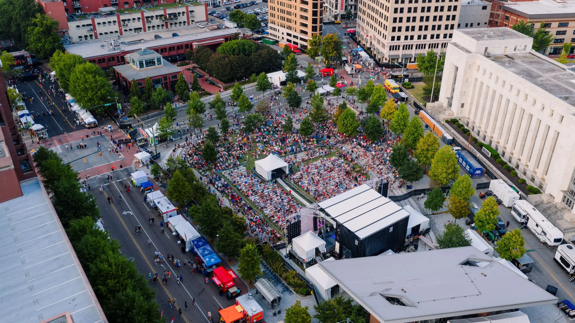
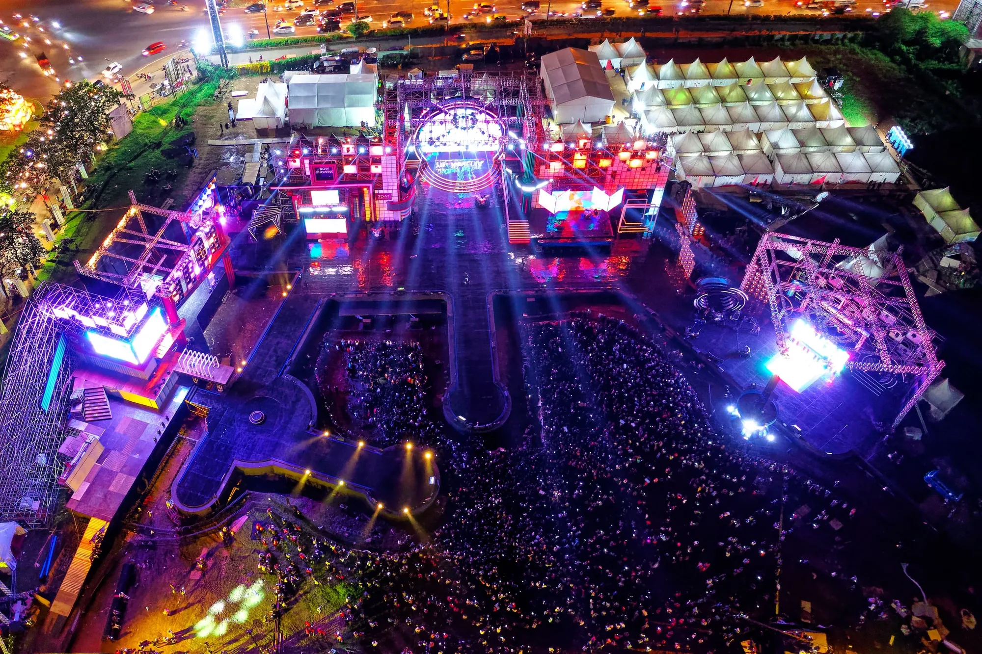
Campaign-ready aerial assets that show the activation footprint, guest experience, branded environment, and New York City setting.
Explore this service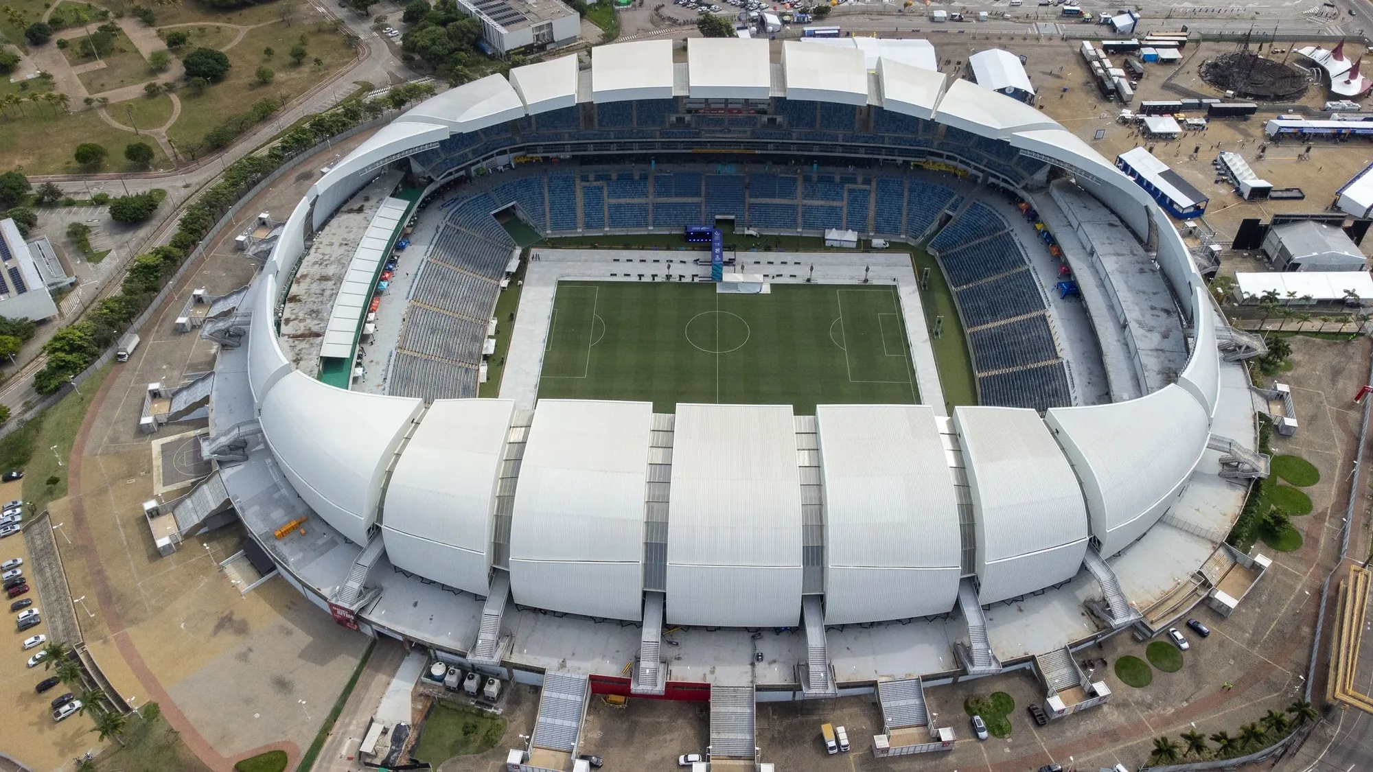
Aerial coverage for venues, routes, competition scale, sponsor environments, and event storytelling—not unplanned flight over participants.
Explore this serviceFlight windows, access and shot priorities are coordinated with the run of show instead of added as an afterthought.
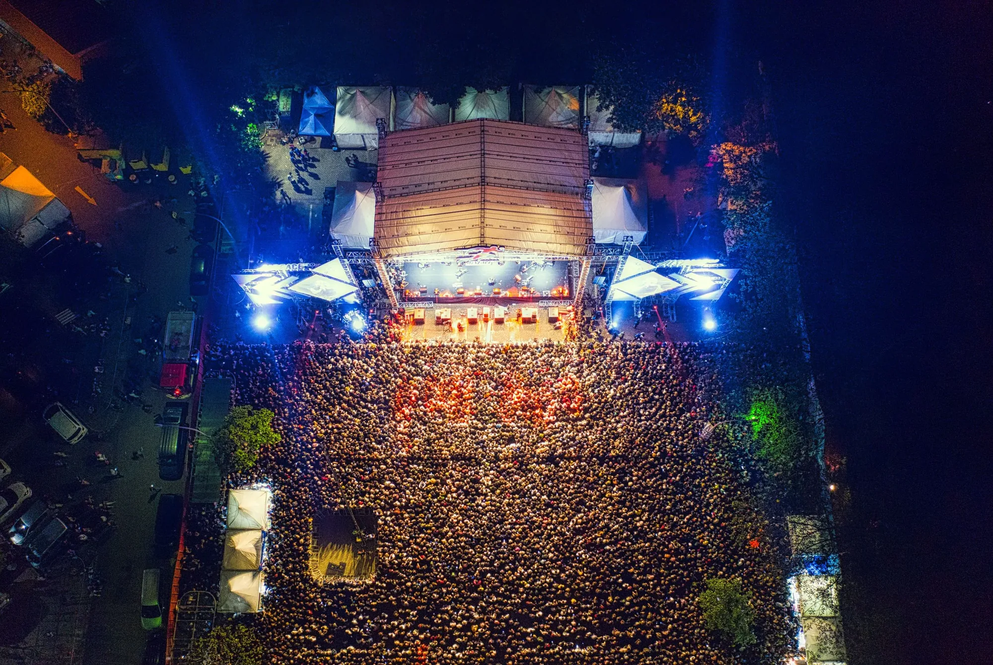
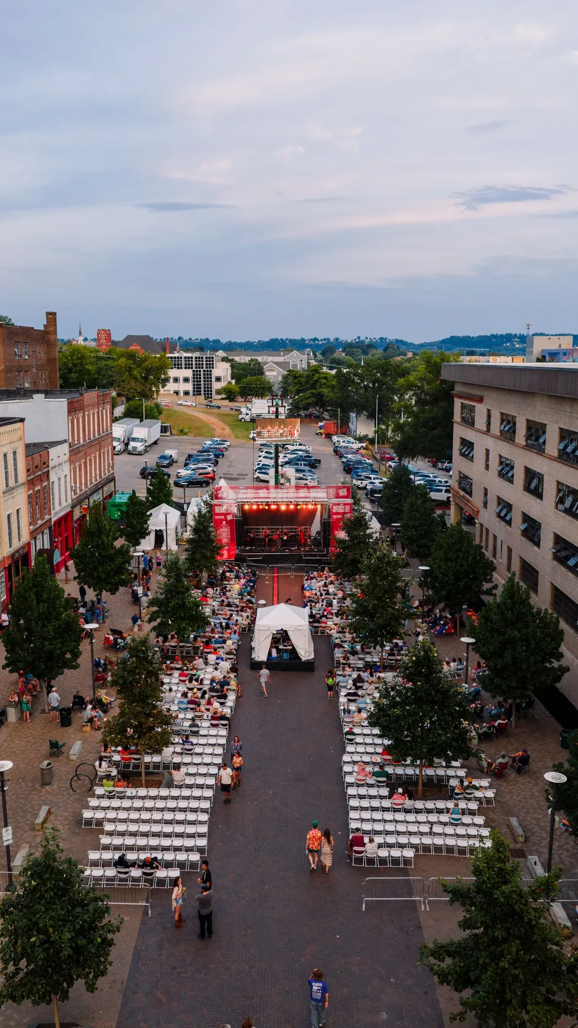
Wide imagery connects the stage, crowd, sponsor footprint and New York setting without losing the energy of the event.
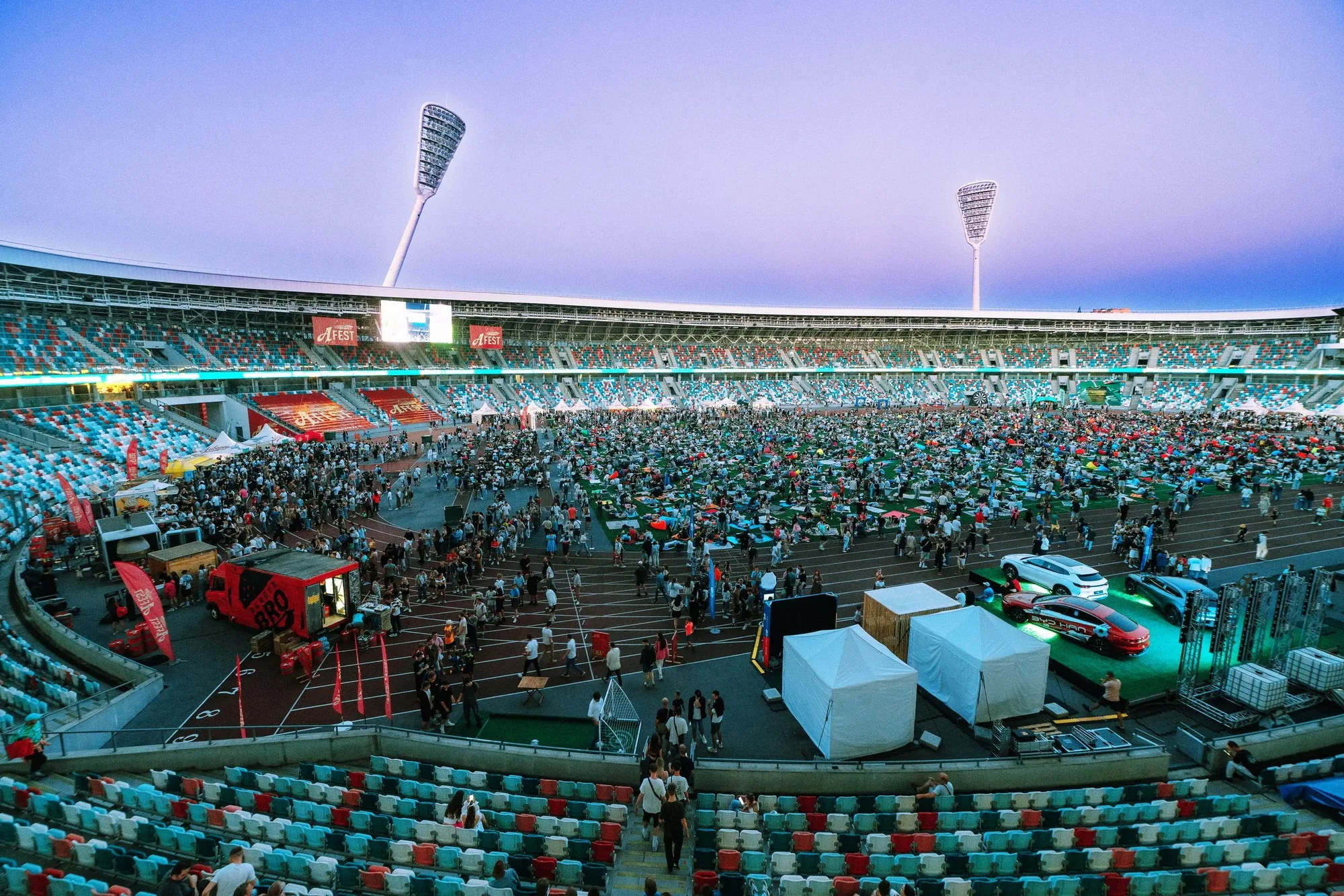
Horizontal, vertical, still and motion capture can be planned around recap films, social, press and sponsor reporting.
Visual coverage
Every project is planned around useful viewpoints, clear context, and imagery that supports the final business or creative goal in New York metropolitan area.
Available deliverables
4K aerial video clips is planned around the venue, production schedule, and final campaign needs, with useful coverage of dense borough settings, rooftops, waterfront sites, stadium areas, and cultural destinations delivered in the format agreed before capture.
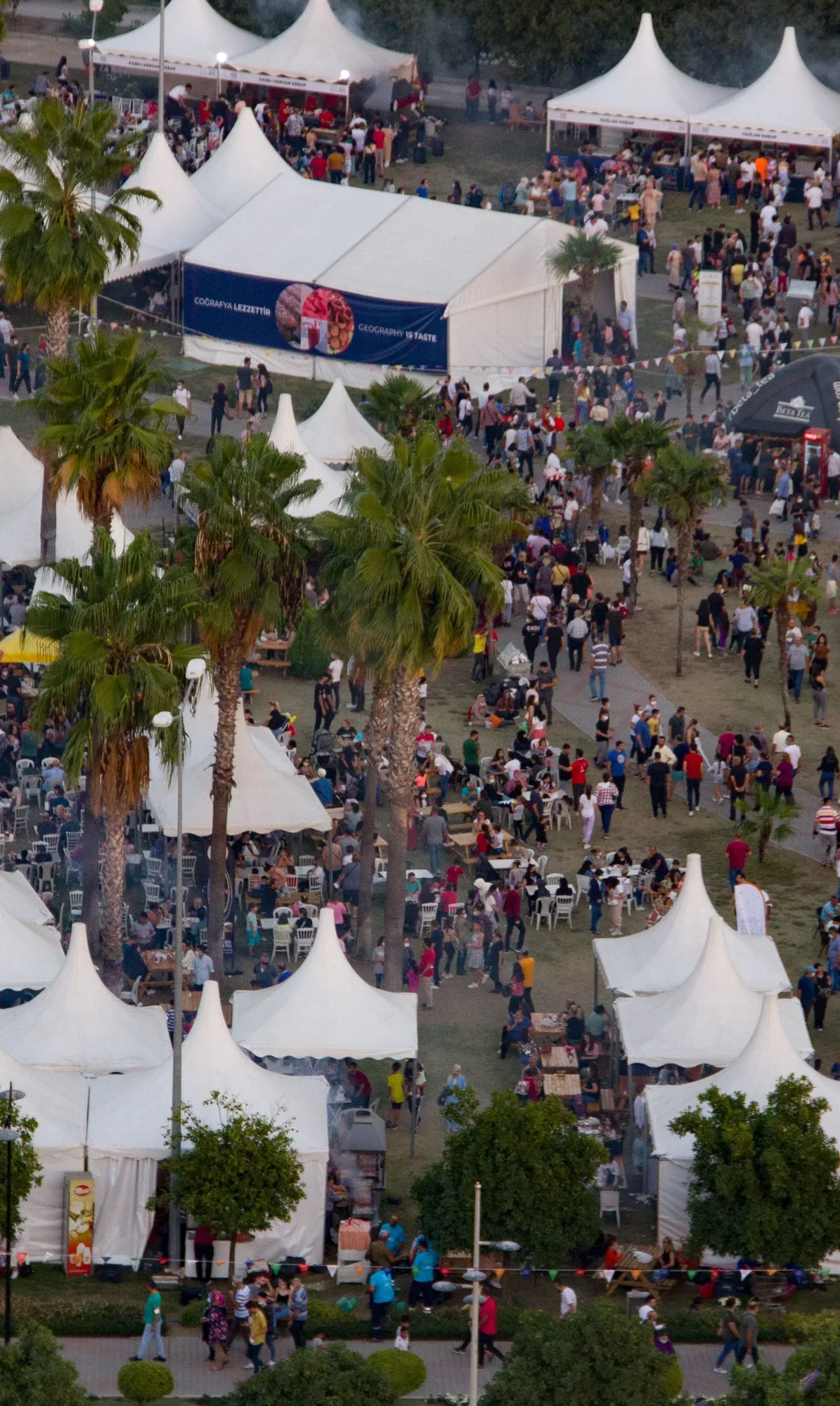
Aerial stills document the venue footprint, audience scale, sponsor installations, and surrounding New York City setting for press, marketing, event recaps, and future promotion.
Capture can be composed for widescreen edits and vertical campaigns, giving producers practical options for recap films, sponsor deliverables, paid media, and social publishing without relying on one crop.
Establishing coverage connects the main venue, audience areas, entrances, and surrounding New York metropolitan area setting, giving an edit a clear sense of place before moving into closer production footage.
Selected footage can be assembled into a concise event sequence for recaps, presentations, or social publishing. Format, duration, music, graphics, and delivery expectations are defined in the approved scope.
Common applications
Concerts and music festivals coverage can establish the venue, show audience scale, document stage and sponsor areas, and create memorable transitions. Flight windows are evaluated around the operating area, production schedule, and crowd configuration.
For sporting events in New York City, aerial imagery can introduce the venue, surrounding setting, arrival experience, and overall attendance. The scope is planned around the sport, location, operating boundaries, and feasible capture windows.
Brand activations can use aerial imagery to show the full footprint, branded installations, guest flow, and relationship to the New York City location. Horizontal and vertical assets can support recaps, sponsor reporting, press, and social media.
Aerial coverage can connect public and cultural events to the wider site and document their scale, layout, and setting. Planning is coordinated with the appropriate campus, venue, municipal, or production contacts.
Live production and venue marketing can use aerial establishing shots, venue reveals, crowd-scale imagery, and supporting footage from dense borough settings, rooftops, waterfront sites, stadium areas, and cultural destinations. Capture and file delivery are coordinated with the producer, venue, or marketing team.
Local planning
New York venues can sit within tightly managed airspace near airports, heliports, waterfront corridors, tall structures and heavily populated public areas. The exact address and event footprint determine what is realistic.
A useful plan accounts for police or venue controls, property permission, audience movement, temporary restrictions, ground access and how the drone unit communicates with production.
The city is part of the visual value. Shot selection should connect the event to its borough, waterfront, park, rooftop or architectural setting rather than producing interchangeable crowd footage.
From brief to delivery
Send the venue, schedule, audience plan, production contacts and the moments that need aerial context.
We assess airspace, access, people, structures, nearby heliports and realistic flight positions.
The aerial unit works from an agreed shot plan and communicates with the producer or designated ground contact.
Files are organized around the formats, orientations and post-production handoff defined in the scope.
Before you book
Operations over people are regulated and depend on the aircraft, operating category, crowd configuration and location. The specific event must be reviewed before feasible coverage can be confirmed.
Yes. The aerial unit can follow an approved shot list, coordinate with the producer and deliver directly to an agency, editor or broadcast team.
Yes. Vertical and horizontal priorities should be identified before the event so both formats can be captured intentionally.
Bring the aerial team in while the venue plan, run of show, crowd areas, production schedule, and final deliverables can still be coordinated. Early review does not guarantee every requested shot, but it gives the team time to identify a practical and compliant plan.
Yes, when each stakeholder identifies priority views, formats, deadlines, and usage before capture. Those requirements can be combined into one shot plan and organized into separate handoff groups after the event.
Request a quote
Share the location, timing, deliverables, and how the footage will be used. Those details help us evaluate feasibility and prepare a useful quote.
The View From Above

Public Sector · Aug 31, 2026
Use a Street-to-Claim Evidence Board to connect NYC traffic visuals with official measures, comparison windows, context, claim limits, and fallbacks.
Read article
Commercial · Aug 25, 2026
Decide when aerial imagery adds value to an NYC Local Law 97 retrofit portfolio—and when energy, filing, commissioning, or professional records must lead.
Read article
Construction · Aug 19, 2026
Build a repeatable New York City aerial progress record around project-specific views, operating constraints, stakeholder evidence, and disciplined delivery.
Read article
