
01
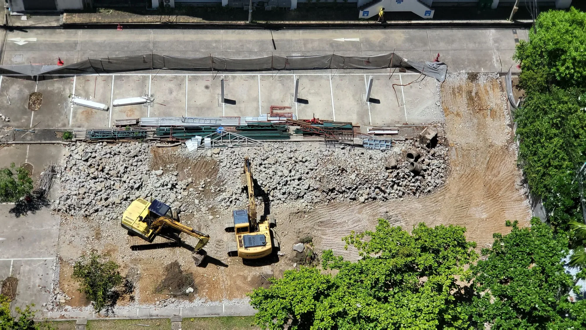
Comparable progress views
Planned positions and framing create a more useful record across recurring visits and milestones.

New York City construction drone services
The service
New York construction changes inside a dense network of streets, neighboring buildings, active trades and stakeholder demands. Repeatable aerial documentation gives teams a clearer record of progress while creating strong visual material for reporting and development communications.
Discuss your project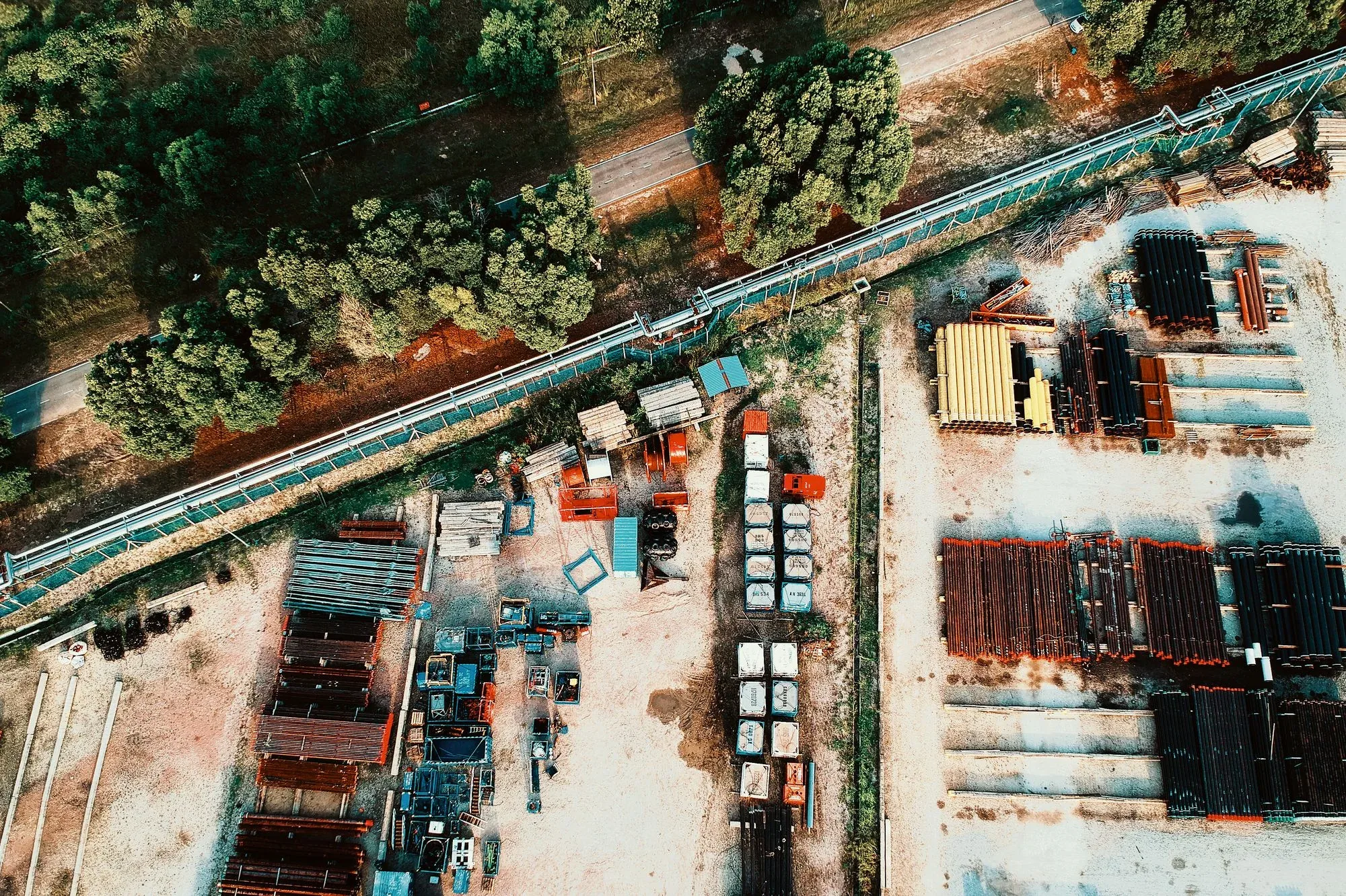
Specialist services
Each service has its own planning questions, deliverables, and quote path. The overview remains available when your assignment crosses more than one category.
Scheduled aerial records with consistent viewpoints, date-based organization, milestone context, and presentation-ready assets.
Explore this service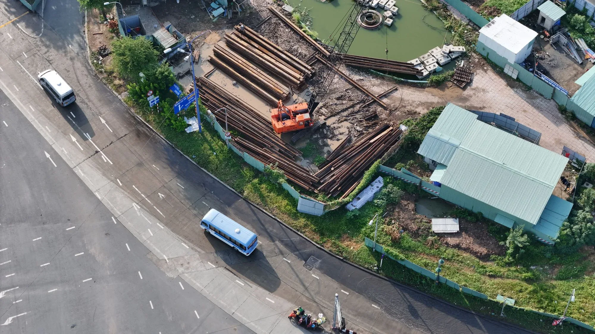
Site-scale imagery for land, infrastructure, access, entitlement storytelling, progress communication, and development marketing.
Explore this service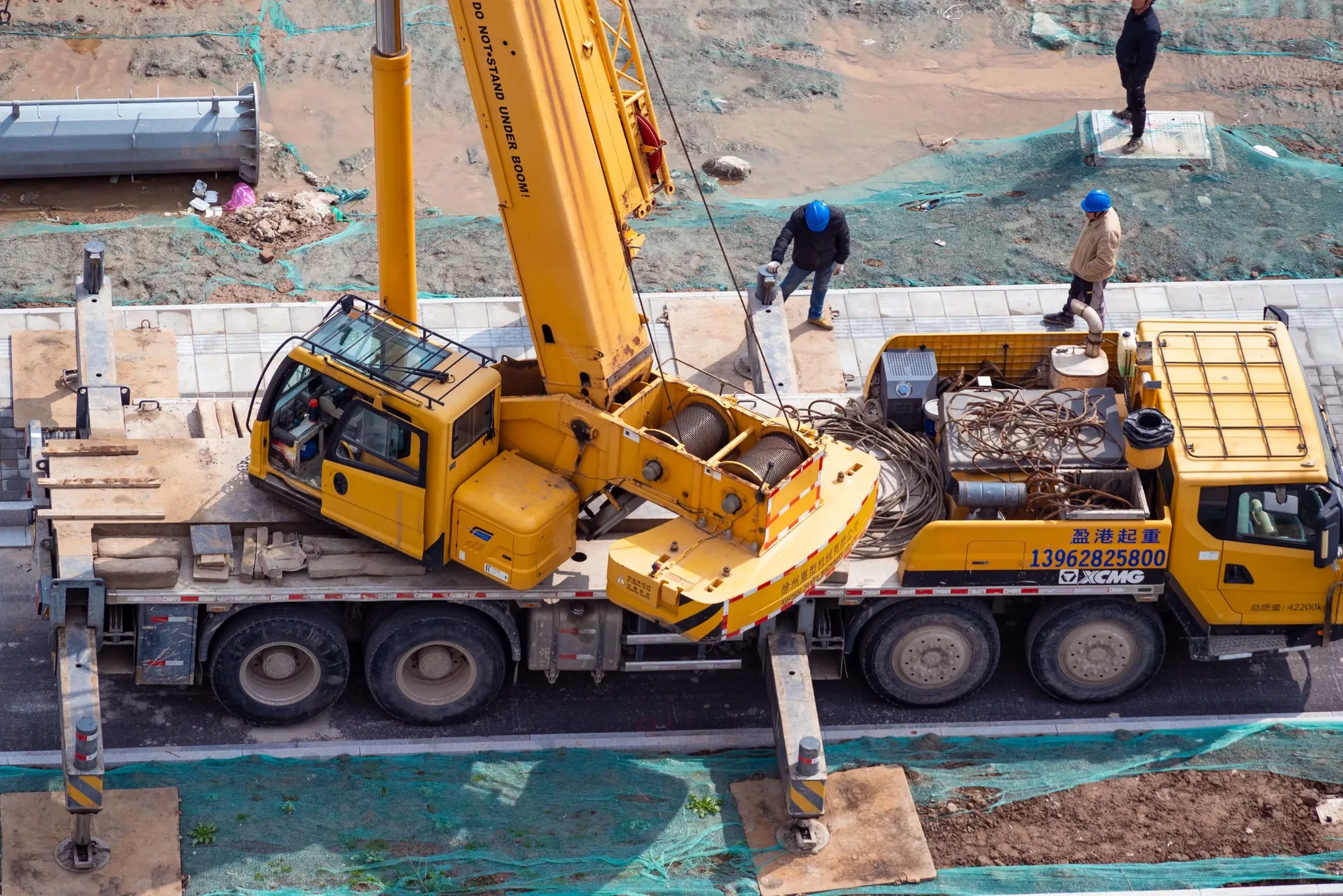
A consistent visual record from construction through lease-up, with imagery for owners, investors, project teams, and marketing.
Explore this service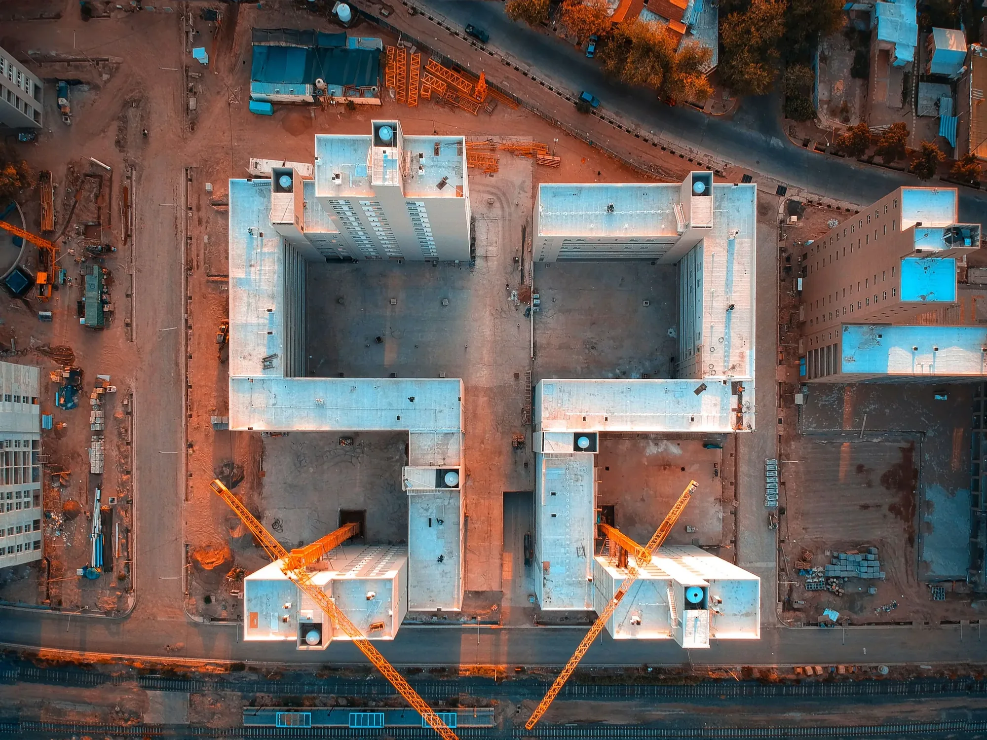
Defined aerial data capture for orthomosaics, models, progress context, and planning workflows—with accuracy and professional roles scoped first.
Explore this servicePlanned positions and framing create a more useful record across recurring visits and milestones.
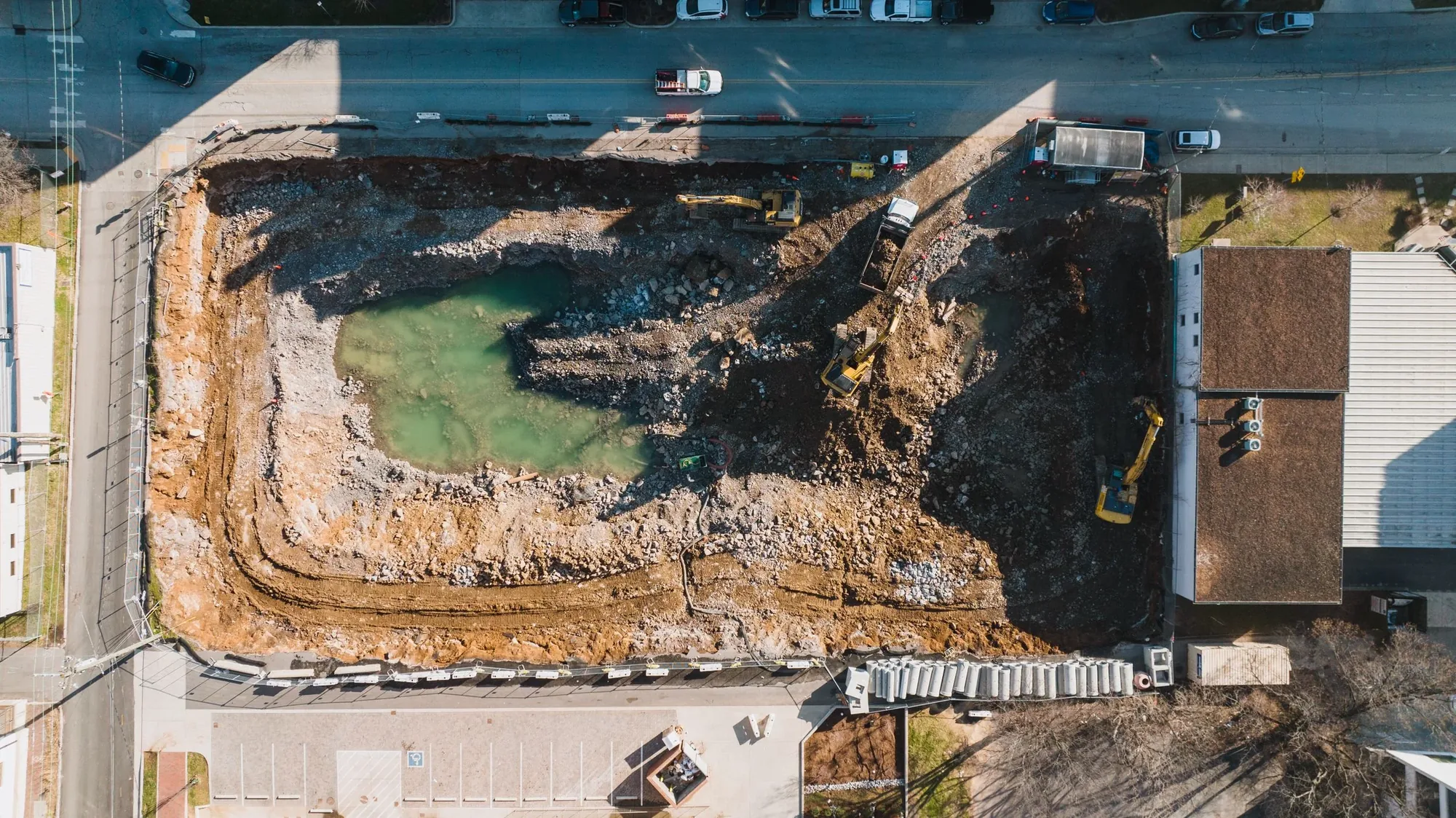
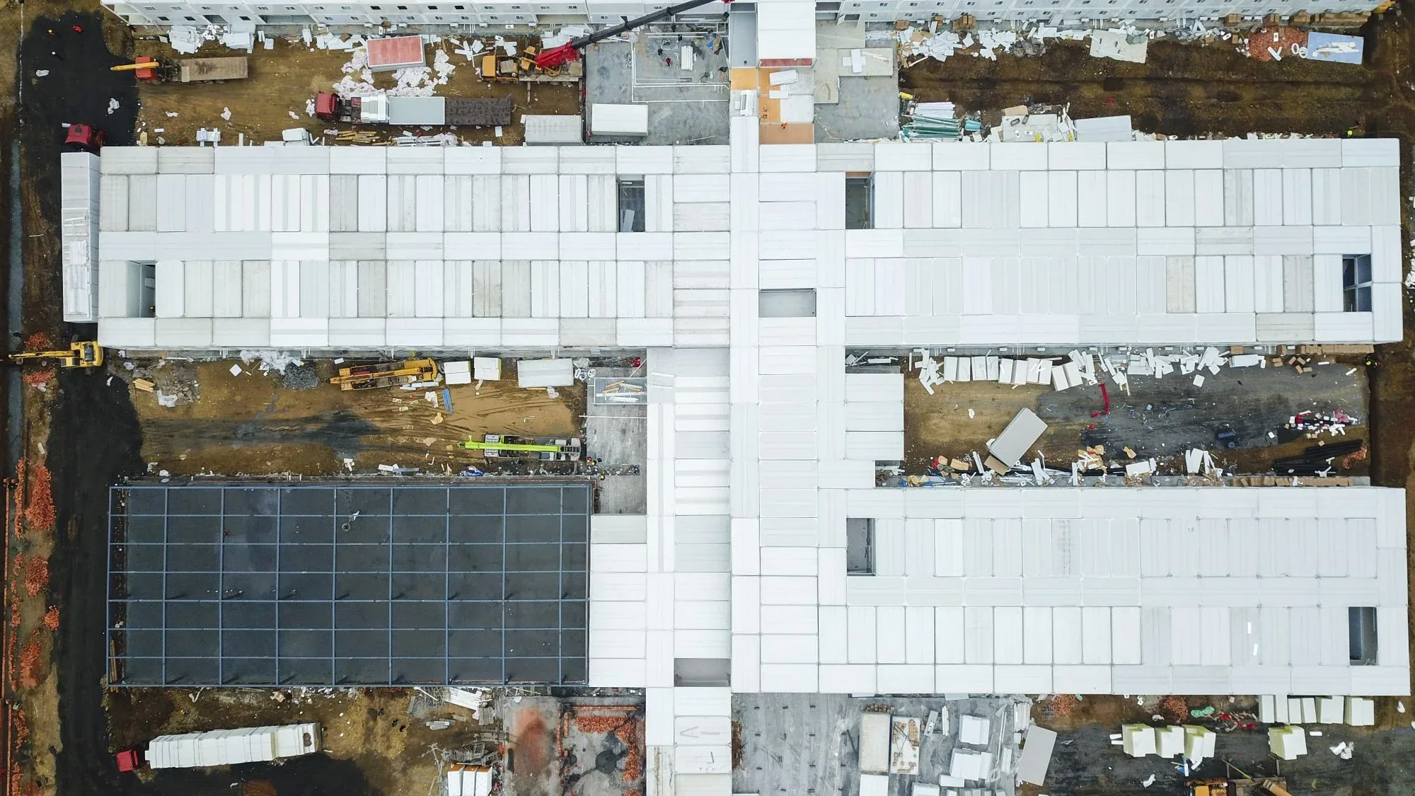
Aerial overviews communicate logistics, surrounding conditions, building form and visible change at once.
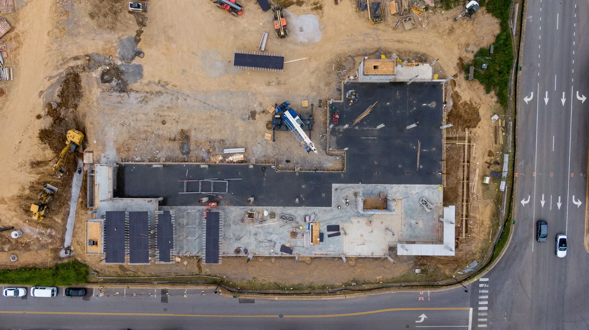
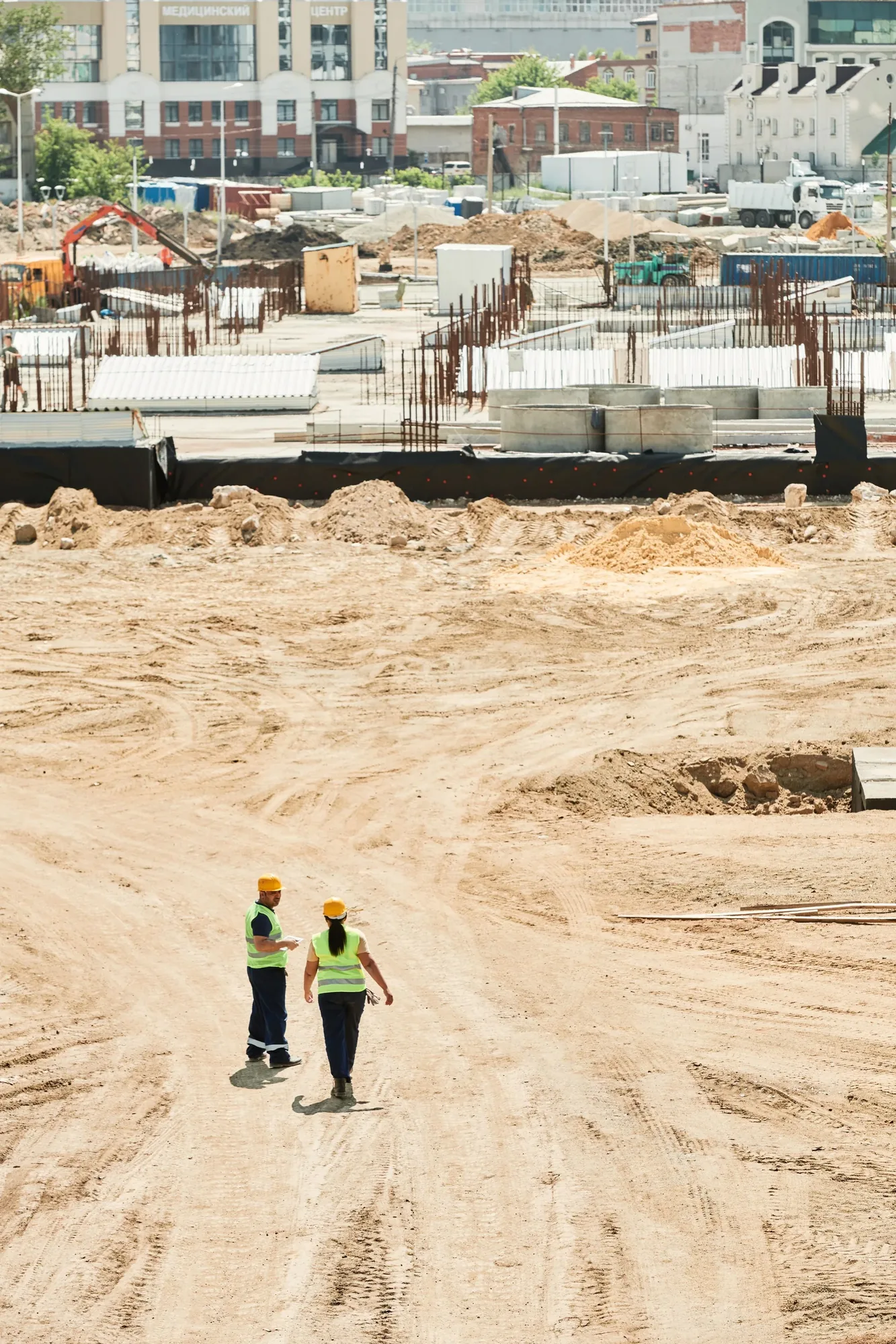
One capture can support internal updates, investor reporting, public communications and project marketing.
Visual coverage
Every project is planned around useful viewpoints, clear context, and imagery that supports the final business or creative goal in New York metropolitan area.
Available deliverables
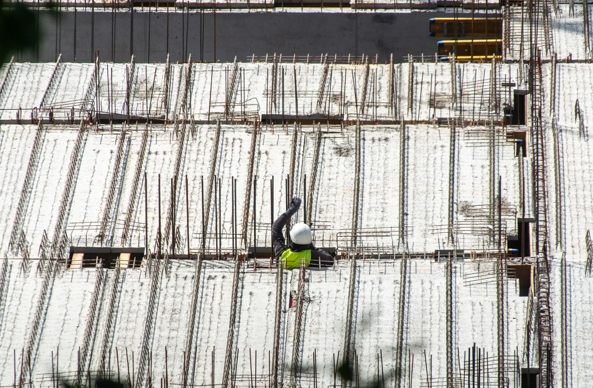
Recurring aerial photography creates a consistent visual record of work across vertical construction, mixed-use development, renovation sites, infrastructure, and public work. Frequency, viewpoints, and site priorities are defined so each visit supports meaningful comparison.
Site overview video gives owners, investors, and project teams a concise view of current conditions, access, logistics, and visible progress without requiring every stakeholder to visit the site.
Repeatable viewpoints are documented and revisited to make changes easier to compare over time. The approach favors consistent orientation and useful project context over isolated dramatic shots.
Milestone and completion coverage records major phases, finished work, and the broader New York City setting for closeout materials, stakeholder communication, proposals, and long-term project marketing.
Organized files by date and location is grouped by date, location, or project area so teams can retrieve the right documentation efficiently and maintain a clearer visual history throughout the construction schedule.
Common applications
Vertical construction projects benefit from consistent views that show building progress, site logistics, surrounding context, and the relationship between multiple structures or phases over time.
Residential and mixed-use development projects benefit from consistent views that show building progress, site logistics, surrounding context, and the relationship between multiple structures or phases over time.
Commercial renovation teams can use repeatable aerial documentation to communicate visible progress, site organization, access, and major milestones across vertical construction, mixed-use development, renovation sites, infrastructure, and public work to owners and off-site stakeholders.
Infrastructure and public work can use aerial coverage to document large footprints, active work areas, access, visible milestones, and coordination points that are difficult to communicate from ground photography alone.
Investor and stakeholder reporting becomes clearer when current aerial images are organized by date and viewpoint, giving remote decision-makers a concise visual record to accompany schedules, written updates, and project meetings.
Local planning
New York sites may have minimal staging space, active streets, cranes, neighboring towers, rooftop equipment and tightly controlled access. Site coordination is part of the capture plan, not an administrative detail.
Recurring coverage is most valuable when dates, viewpoints, orientation and file organization remain consistent enough for teams to compare visible progress.
Airspace and site conditions can change during a long project. Each visit is reviewed rather than assuming a flight approved in one month will be identical in the next.
From brief to delivery
We identify site contacts, access, safety procedures, priority areas and repeatable camera positions.
One-time or recurring coverage is coordinated around site activity, milestones and operating constraints.
The flight captures comparable overview positions plus requested details and presentation imagery.
Files are labeled by date and view so teams can locate, compare and share them efficiently.
Before you book
Yes, where site and airspace conditions allow. Repeatable positions, orientations and focal priorities can be documented for future visits.
Yes. Access, active work areas, communication, PPE and project-specific requirements are confirmed with the designated site contact.
No. Visual progress documentation is not a substitute for a licensed land survey. Mapping or measurement requirements must be scoped separately around the required accuracy and intended use.
A documented viewpoint list, consistent orientation, clear file naming, an appropriate cadence, and milestone-specific priorities make repeat visits easier to compare. Weather, site changes, cranes, and access can still require documented adjustments.
The useful structure depends on the review workflow. Files can be grouped by date, building, phase, zone, viewpoint, or milestone when that convention is agreed before the first visit and used consistently across the program.
Request a quote
Share the location, timing, deliverables, and how the footage will be used. Those details help us evaluate feasibility and prepare a useful quote.
The View From Above

Public Sector · Aug 31, 2026
Use a Street-to-Claim Evidence Board to connect NYC traffic visuals with official measures, comparison windows, context, claim limits, and fallbacks.
Read article
Commercial · Aug 25, 2026
Decide when aerial imagery adds value to an NYC Local Law 97 retrofit portfolio—and when energy, filing, commissioning, or professional records must lead.
Read article
Construction · Aug 19, 2026
Build a repeatable New York City aerial progress record around project-specific views, operating constraints, stakeholder evidence, and disciplined delivery.
Read article
